


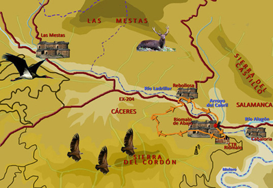
Route 6: Río Ladrillar
Tipe: Circular
Distance: 6 km.
Time: About1,5 hours
Highest point/lowest point: 470/397 meters
Difficulty: Low
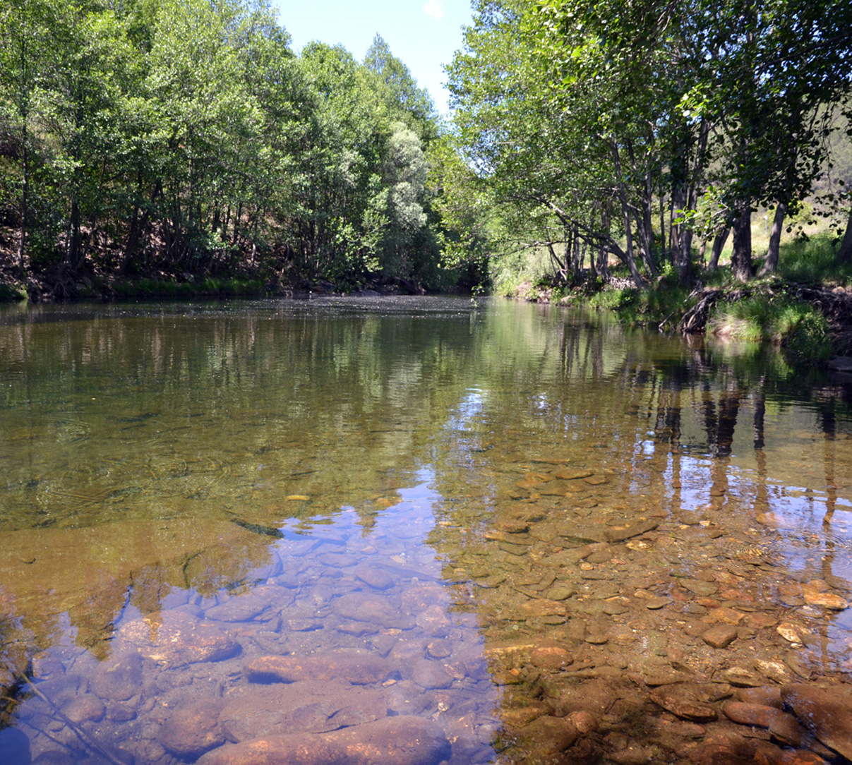
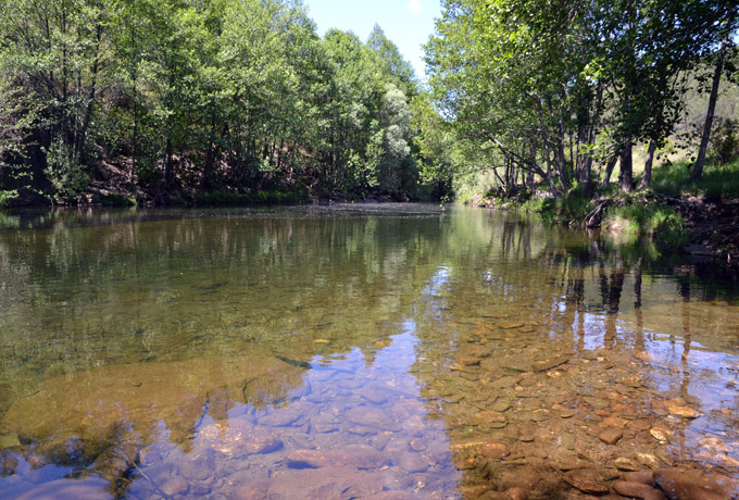
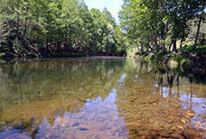
Recommended season: All year, with the exception of the central hours of the day in summer, because of heat. The path is perfect for taking a bath in some places of the river in summer.
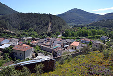
Route Summary: The route surrounds the "alquería" of Riomalo de Abajo, allowing to observe some traditional constructions of slate. After rising the slopes of the Sierra del Cordón, showing beautiful views on the southern foothills of the Natural Park of Las Batuecas - Peña de Francia, the itinerary leads to the "alquería" of Rebollosa (Salamanca), crosses it and, begins the return alongside the river Ladrillar, border between Salamanca and lands of Las Hurdes. The same path approaches accessible places where there are small pools for a pleasant bath, the same places used by the inhabitants from time immemorial.
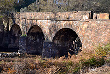
Our route will reach the "Puente Romano " and ends in CTR Riomalo.
Information: Download the booklet of the route, in pdf file, the roadbook or the files in format .kmz, .html o .gpx, by clicking on the appropriate button.
Use the buttons above to move along the routes.
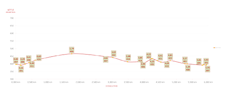
Altitude graph. Route 6: Río Ladrillar


<
>
1 - 3
Cerrar