

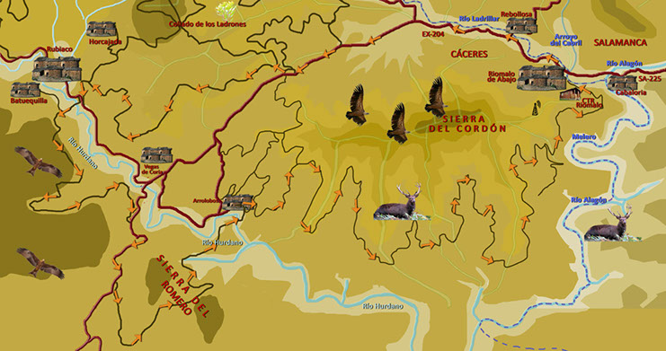
Route 4: Valles del Hurdano y Alagón y Sierra del Romero
Tipe: Circular Distance: 60 km.
Strech of path: 48 km. Strech of asphalt: 12 km.
Time: About 6 hours
Highest point/lowest point: 702/392 meters
Difficulty: High (by the length of the route)
Time: All year round
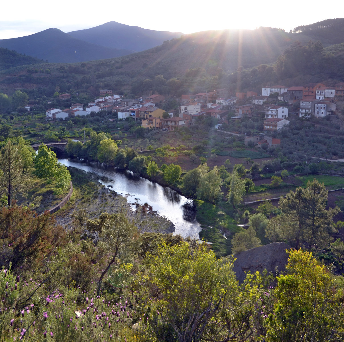
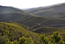
Route summary: The present route approaches some of the most emblematic places in the surrounding of Riomalo de Abajo. Between them, la Sierra del Cordón, la del Romero, los valles del Hurdano y del Alagón.
During all way, the landscapes will be opened endless over the horizon of mountains and valleys of the south-east region of Las Hurdes, extending towards La Pesga and the mountains of the same name, towards the reservoir of Gabriel y Galán and the southern foothills of the Natural Park de las Batuecas - Peña de Francia, in the area known as Arca y Buitrera.
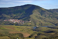
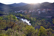
And finally, nothing better than coming back to admire El Melero, the wonderful meander of Alagón river, from the Mirador de la Antigua.
Information: Download the booklet of the route, in pdf file, the roadbook or the files in format .kmz, .html o .gpx, by clicking on the appropriate button.
Use the buttons below to move along the routes.
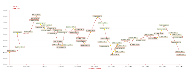
Altitude graph. Route 4 Bike: Sierra del Romero


<
>
1 - 3
Cerrar