


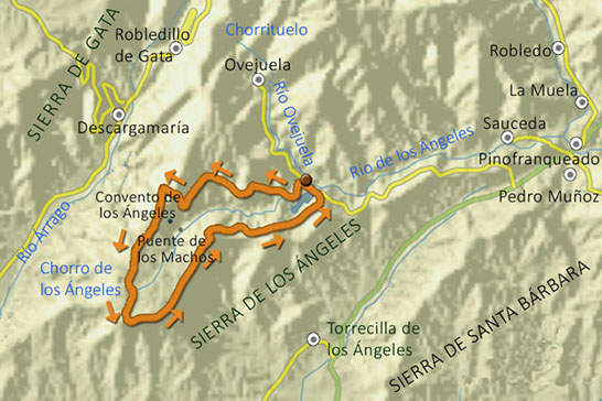
Route 4: Sierra de los Ángeles
Tipe: Circular
Distance: 24,95 km.
Time: About 11 hours.
Highest point/lowest point: 1.013/564 meters
Difficulty: High (by the length of the route, despite the comfortable ways that rise very progressive and that half of the route is down).
Recommended season: All year round. Although the weather is adverse, the ways are comfortable and they do not complicate the route.
Route summary: The route begins in the road to Ovejuela, a few kilometers from Pinofranqueado, and returns to the same point, where you can leave your vehicle. The path ascends the Sierra de los Ángeles, approaches the remains of a mediaeval monastery and a bridge, known as “Puente de los Machos”. After that, it follows to the top of the mountains, looking for the place in which the nascent river of Los Ángeles produces a magnificent waterfall.
When the route touch the peaks, it starts the return going down to the edge of the reservoir of Los Ángeles.
NOTE: This route is available for the clients of Riomalo CTR, but you can download the booklet in order to know something more about it.


Sierra de los Ángeles
Puente de los Machos
Convento de los Ángeles
Convento de los Ángeles
Deer
Chorro de los Ángeles
Winter. Chorro de los Ángeles
Griffon vulture
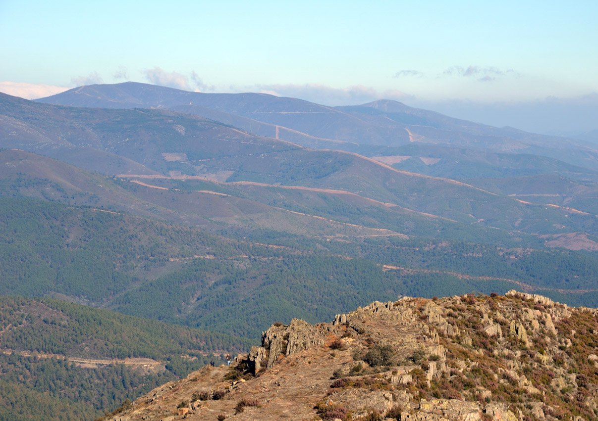
From the summit of the mountain
Reservoir of los Ángeles
10 - 10
<
>