


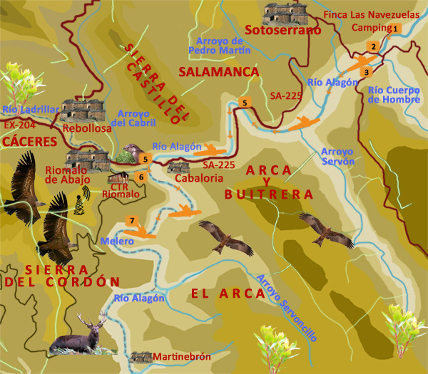
Route: Descent of the river Alagón . Las Navezuelas - El Melero
Boarding point: Camping Sierra de Francia, Sotoserrano (Salamanca)
Final point: Melero, meander of Alagón, close to Riomalo de Abajo (Cáceres)
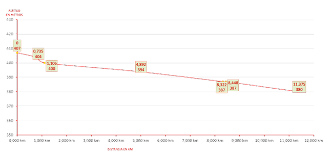
Distance: 11,375 km.
Time: Between 2 y 3 hours
Current: In favor
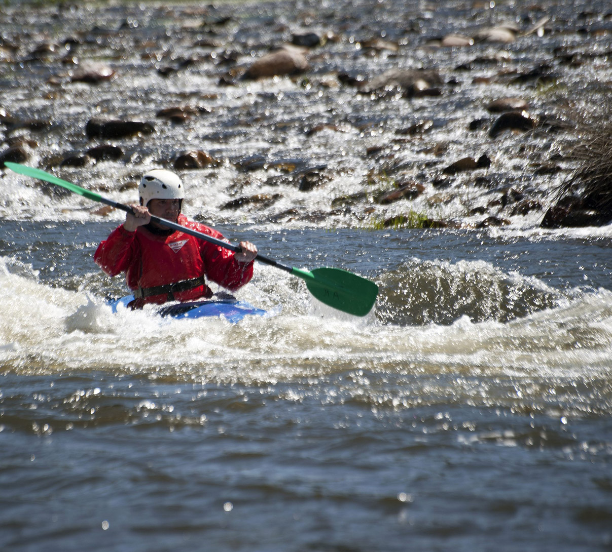
Difficulty: For expert canoeists
Recommended season: It is necessary to ask before making the descent, because the level of the water of the Alagón can prevent the descent.
Route Summary: The Alagón River, in the area that connects the provinces of Salamanca and Caceres, makes a beautiful descent, running between the Sierra del Castillo, Arca y Buitera, both spaces of the Natural Park of Las Batuecas-Peña de Francia , and the Sierra del Cordón of Las Hurdes. The course is curved repeatedly until reaching the Melero, the most spectacular and attractive of its meanders, at the edge of which ends the descent.
When the level of waters is high, the river runs down between fast, making the descent in canoe towards the reservoir of Gabriel y Galán more attractive.
Information: Download the booklet of the route, in pdf file, or the files in format .kmz, .html o .gpx, by clicking on the appropriate button.


<
>
Fotos de piraguas: Joaquín Villén